Clare Country Park Loop
Approx. distance: Just under 14 miles
Park in the Car Park at Clare Country Park. Leave the car park and turn left at the end of the road away from the centre of Clare.
Take the first left, you will cross a small bridge over the river Stour. Turn left where the road bends round to the right. A few hundred yards along the road there is a gravel track sign posted as a bridlepath. The bridlepath splits, turn 90 degrees to your right and head up the hill. The path turns left and follows the hedge along the brow of the hill. Continue along this path for about a mile.
The bridlepath meets a single track road, turn left on to the road and follow it round to the right. The road passes to very attractive houses before turning in to a bridlepath and continues for about a mile.
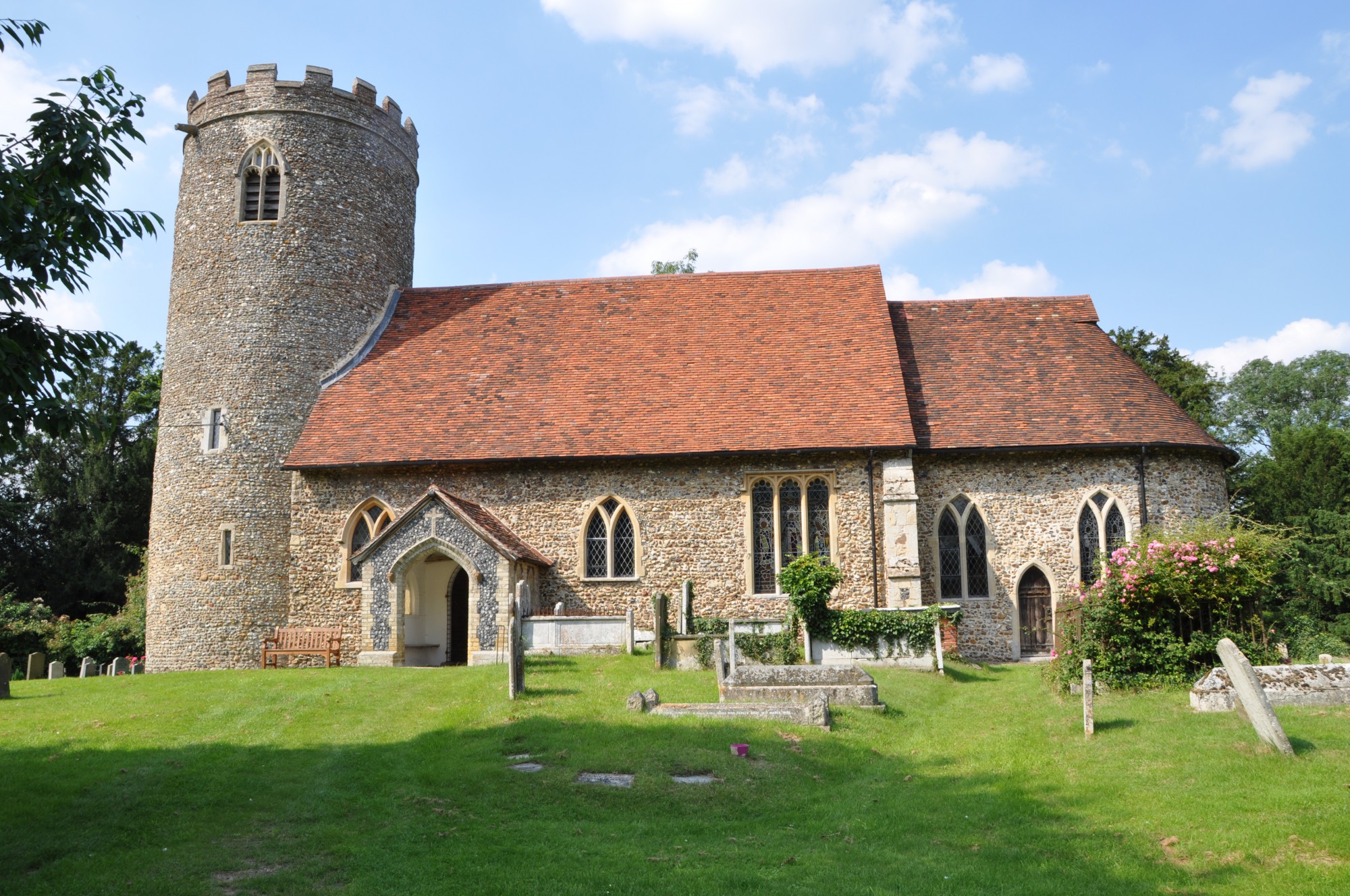
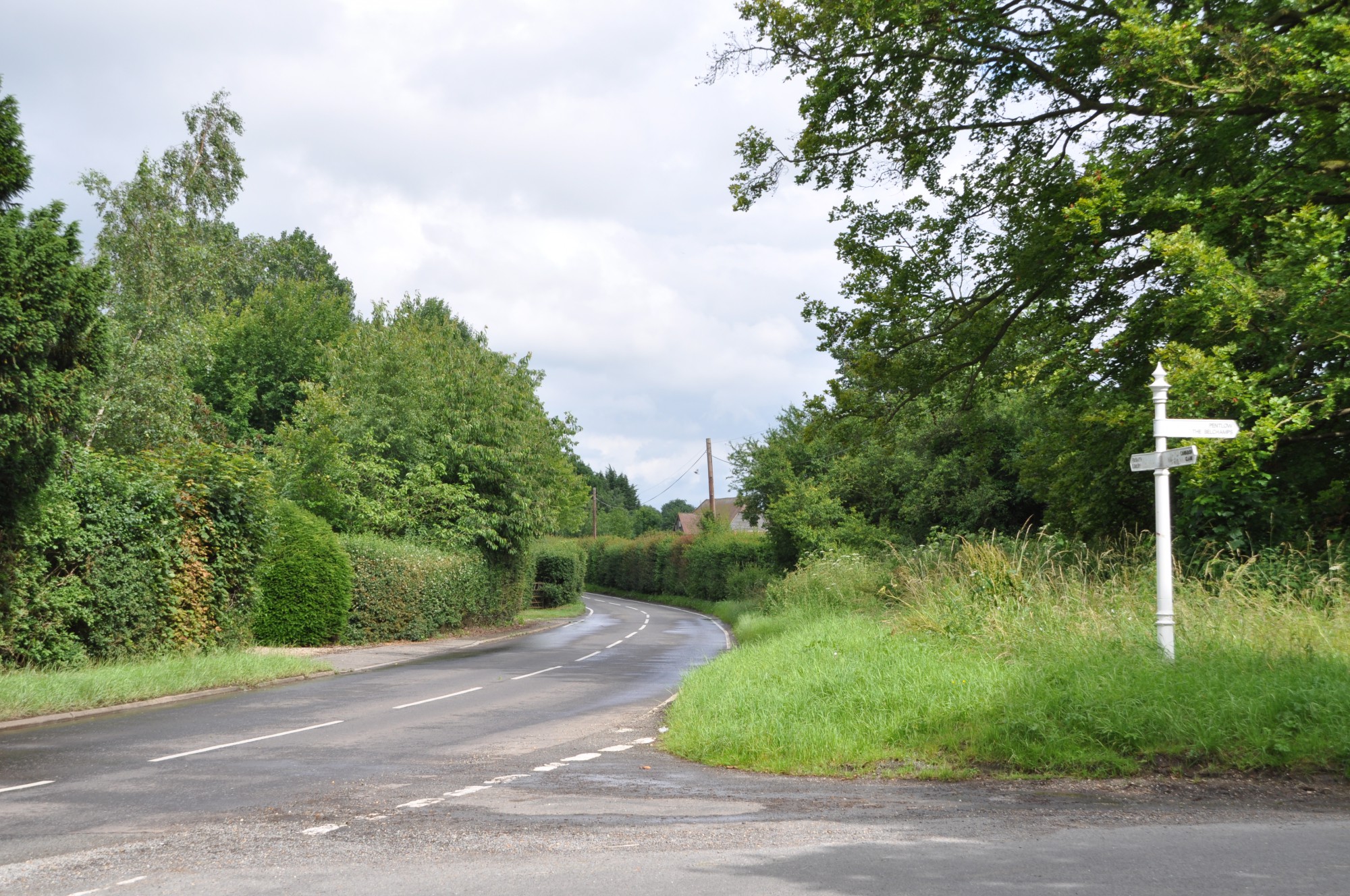
This bridlepath emerges at a junction. Bear right along the main road, sign posted for Foxearth. A few yards along here on the left you will see a narrow track leading to Pentlow church.
Turn left away from the church and follow the road for just over half a mile. There is a bridlepath on your left between a cottage and some Nethergate Brewery buildings.
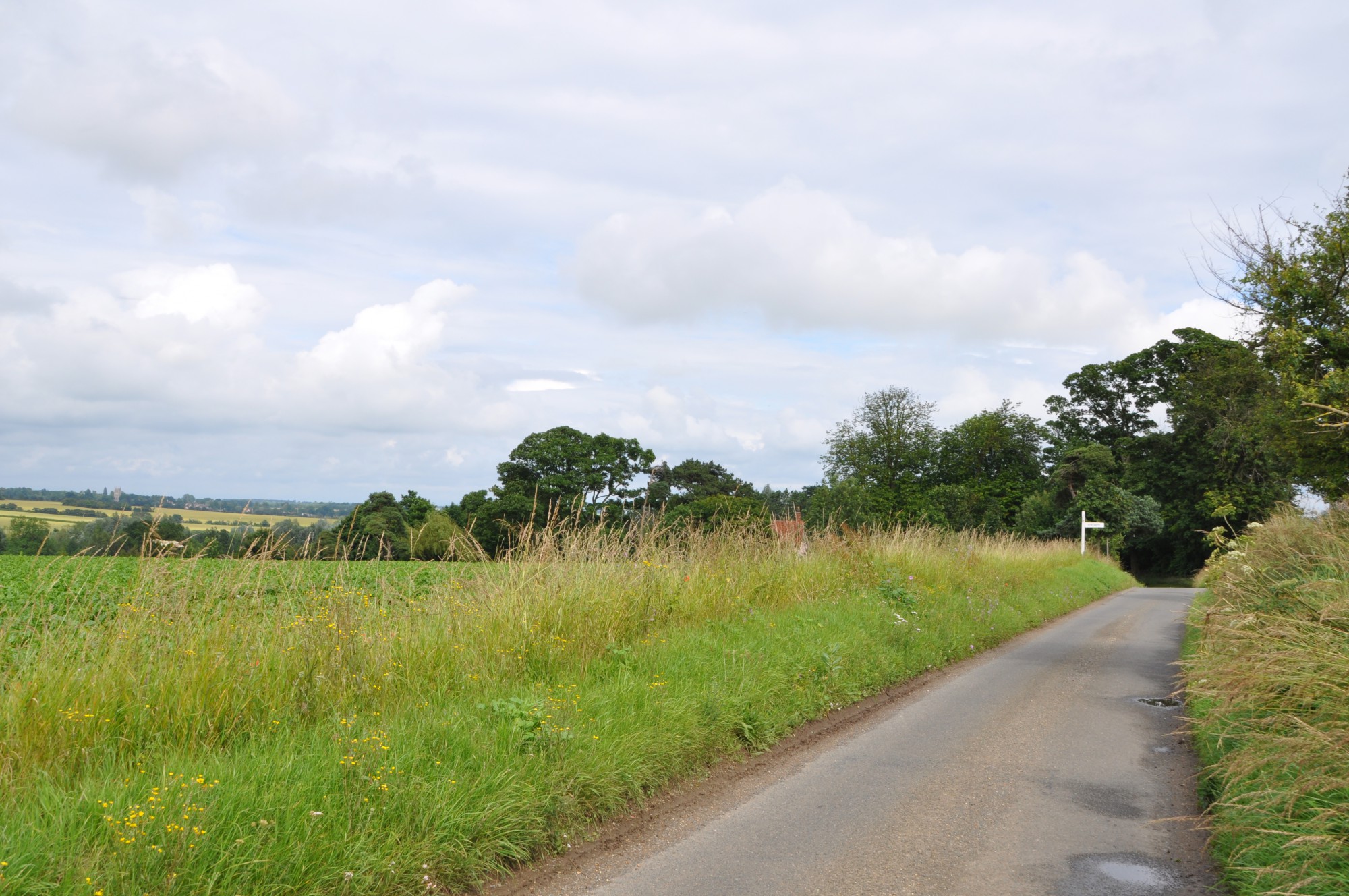
After about half a mile the bridlepath ends at a junction. Cross the road and follow the single track lane which climbs steadily up hill. You are quite high up here and the views to your left are attractive.
Turn right at the sign post for Foxearth.
At the first sharp left turn there is a log bench looking out over another great view of the Suffolk countryside.
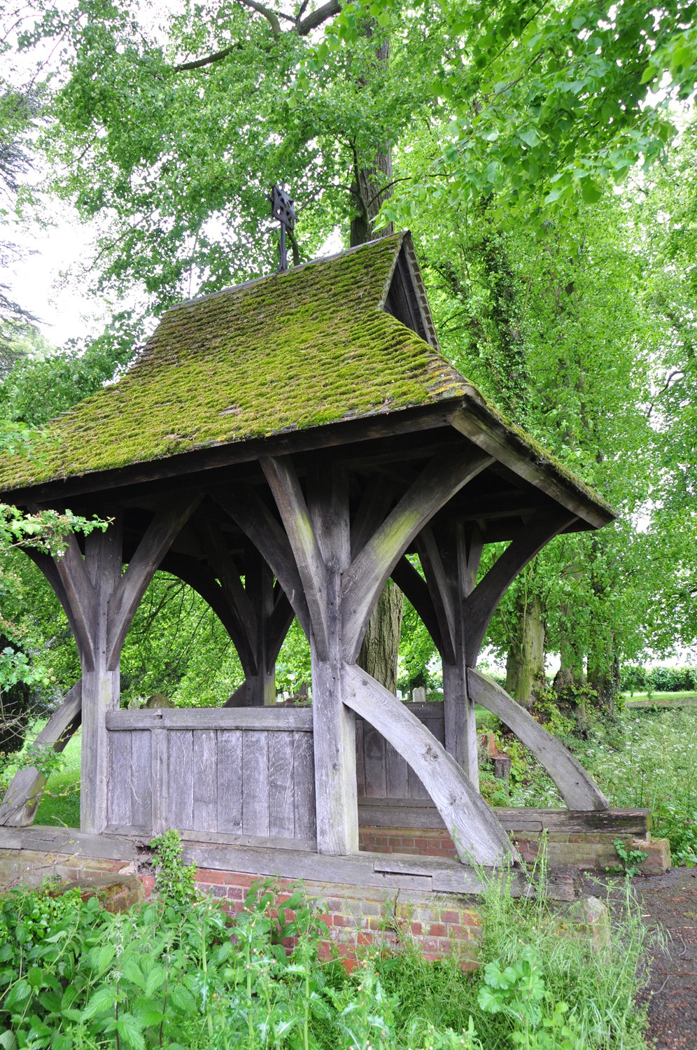
At the end of this road turn right towards Foxearth. As you enter Foxearth village there is a tree-lined footpath on your right leading you to Foxearth church.
As you leave the church, turn right. Where the road bends sharply to the right, continue straight ahead along the narrow road. Follow this road steadily downhill for about a mile and a half. Where the road turns sharply to the left turn along the bridlepath to your right. A few yards along here turn left and follow this track until you meet the road. Turn right along the road towards Belchamp Otten. Just over a mile and a half along here you will find Belchamp Otten Church on your right.
Leaving Belchamp Otten church, turn right and follow the road for about two miles. When you reach the end of the road turn right (sign posted for the church). Just under a mile along here on the left you will find Belchamp St Paul church.
Turn left along away from the church and head downhill. Follow this road for about a mile, when you reach the bottom of Hickford Hill you will recognise where you first turned off the road on to a bridlepath.
Return to Clare Country Park the way you came.
Please note: the maps on this website are guides only and we strongly recommend that you invest in a suitable OS map for accurate navigation.